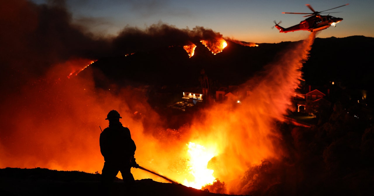
On Tuesday, Santa Ana winds swept across Southern California toward the ocean, scattering embers and then fanning the growing wildfire flames. During the night, residents received instant text alerts warning of potential 100 mph gusts – a terrifying surge that turned a precarious situation into a full-blown crisis. As the winds began to pick up, more embers flew, sparking new fires in the dry, brittle bushland where there had been no significant rainfall for more than eight months.
Los Angeles County, struggling with drought-like conditions, was waiting for a spark. Firefighters faced an uphill battle against such fierce winds that airplanes dropping water and flame retardants had to be grounded. Officials warned in a press release Wednesday morning that “all Los Angeles County residents are at risk.” Thousands of residents have been displaced since the evacuation orders, while thousands more are awaiting updates. As of Wednesday evening, three major fires had engulfed more than 13,000 acres and containment efforts were sluggish: the Palisades Fire in Pacific Palisades and Malibu, the Hearst Fire in Sylmar, and the Eaton Fire near Pasadena have shown signs of slowing. At the time of writing these have shown no signs of being contained, and have already become the most devastating in California history.
“The fire became so destructive so quickly because of unusually dry and windy conditions,” says Jennifer Marlon, a research scientist and lecturer at Yale: “Any small spark, whether it's from a lightning strike or from a person or campfire.” With fire, it is going to grow rapidly. School of the Environment and the Yale Program on Climate Change Communication. “Once a fire starts in these conditions, it's very difficult to control,” says Caitlyn Trudeau, senior research fellow for climate science at the nonprofit news organization Climate Central.
Santa Ana wind events are not uncommon. “We see it every year around this time,” says Jason Moreland, senior meteorologist at AlertMedia, an emergency communications platform. These downhill winds, which originate inland, are caused by dry high pressure systems coming from the northwest and low, humid pressure systems coming from the south. “It's like if you have a hose and you bend it in half to cut off the water. If you put a hole in the side, you have a lot of pressure to get out,” Trudeau explains. “That's basically what's happening with the air.”
However, Moreland points out that these winds are much stronger than normal due to a decline in the jet stream near the Baja Peninsula in northwestern Mexico. Winds that normally blow at higher altitudes are reaching lower lands. “Every several decades, we get wind events of this magnitude,” he says.
While this wind event seems extreme, Stanford professor and senior fellow Noah Diffenbaugh Woods Institute for the Environmentexplained that this could just be due to natural weather variability – and more research is needed to know whether it is caused by climate change.
However, although the winds are not unseasonal, climate change danger is increasing Late or early season wildfires in California. “Not only is this a particularly strong wind event, but it's also particularly dry weather here for early January,” Diffenbaugh says. Southern California's wet season, which runs from October to April, has seen record low precipitation, following one of the driest fall on record. as it rains more variable due to climate changeThe overlap between the windy season and the dry season is increasing. “We're seeing a higher amount of hot, dry, windy days, particularly in Southern California,” Trudeau says.


